Maryland
“If the Chesapeake Bay is to survive, it must be addressed as an entity, as a total system without duplication and without omission.”
Former U.S. Senator Charles “Mac” Mathias (R-MD)
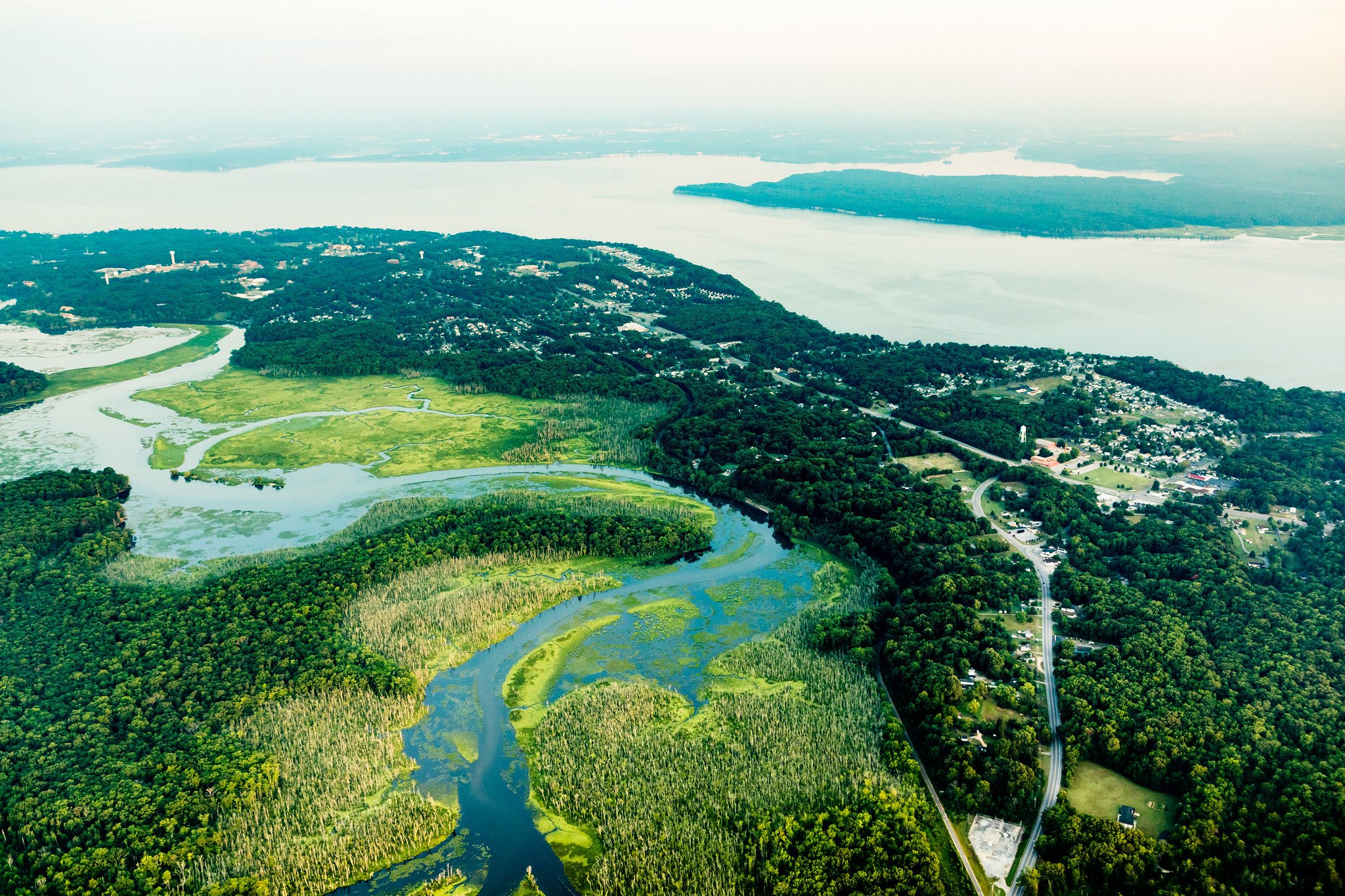
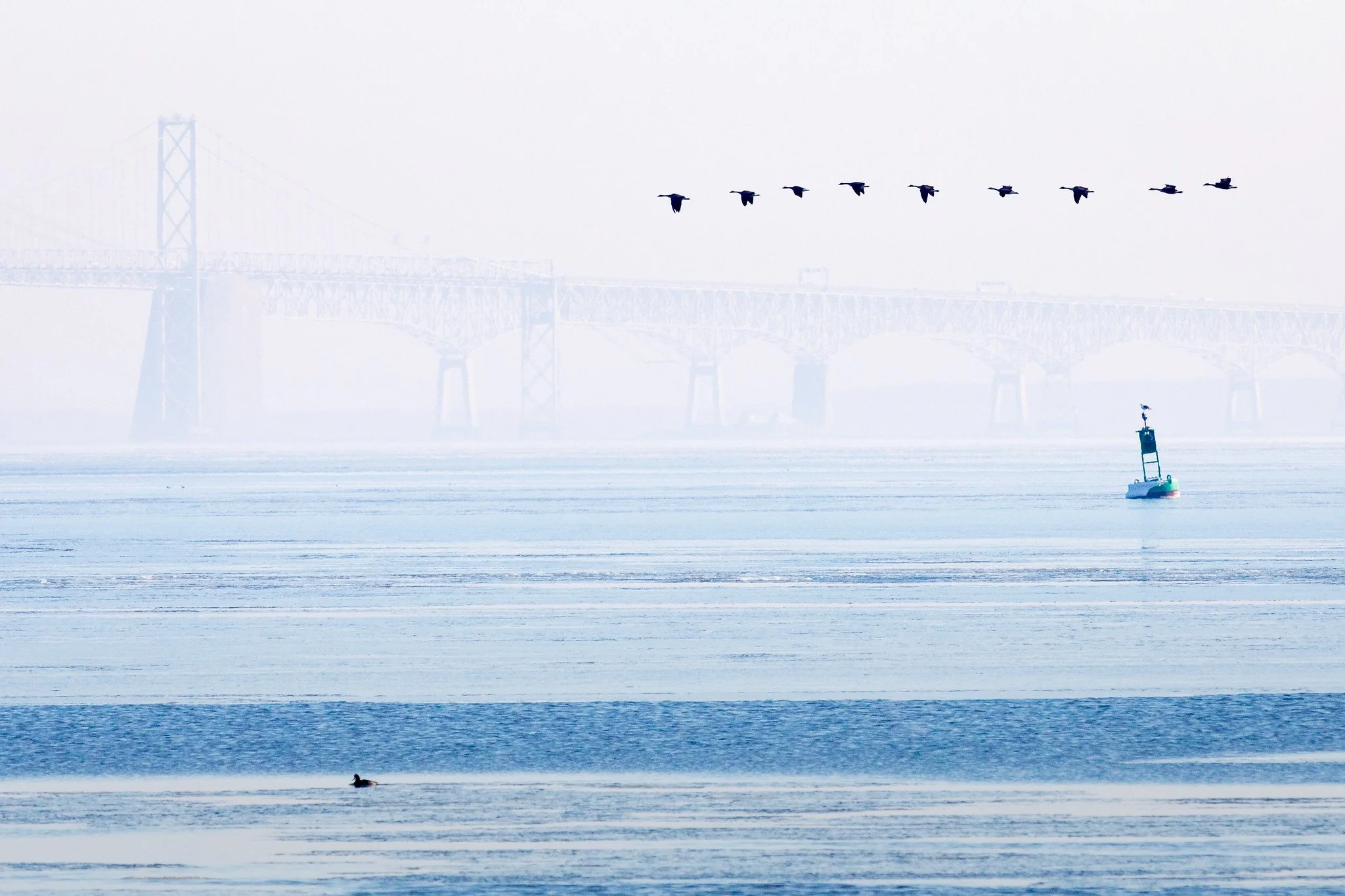
While the Chesapeake Bay watershed spans 64,000 square miles, the Bay itself is about 200 miles long, stretching from Havre de Grace, Maryland to Virginia Beach, Virginia. Maryland has 6,776 miles of shoreline bordering the Chesapeake Bay and its tributaries.
Excess nutrient pollution is the leading cause of the decline and degradation of the Chesapeake Bay and its tributaries. Water quality had been in decline since the 1950s and was taking a turn for the worse; by the 1970s the Chesapeake was at a tipping point where aquatic life was rapidly disappearing from the Bay’s waters. To determine the cause of the failing Bay health, U.S. Senator Charles “Mac” Mathis (R-MD) sponsored a Congressionally funded $27 million, five-year study. The study was published as a series of reports in the early 1980s and identified excess nutrient pollution as the leading cause of Chesapeake Bay degradation. To combat nutrient pollution, Maryland, Virginia, Pennsylvania, and the District of Columbia signed the 1983 Chesapeake Bay Agreement and formed a regional partnership.
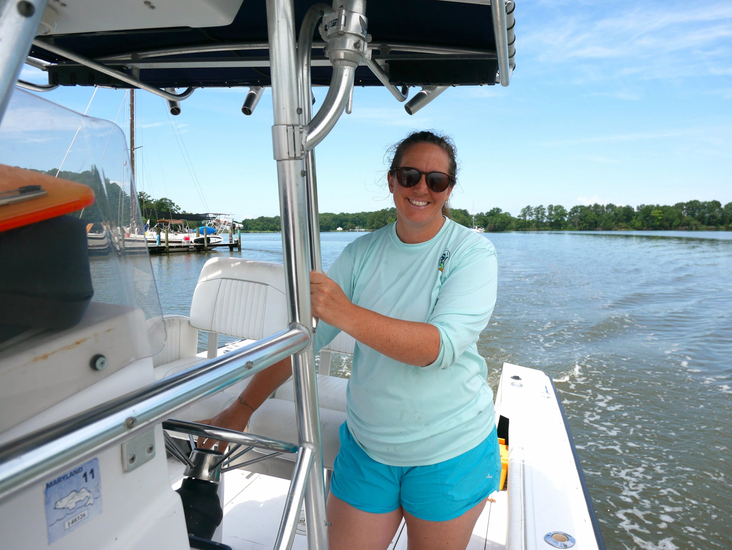
The Chesapeake Bay continues to be a focal point for Maryland, both culturally and economically. A healthier Bay contributes not only to the health of Maryland’s citizens and communities, but also provides outdoor recreation and industries that contribute to our State’s economic health. As the state of Maryland continues efforts to reduce the pollution affecting the Bay’s health, we strive to look for new and innovative ways that not only restore water quality but also strengthen local economies and communities.
Coalition Lead


Monthly Call